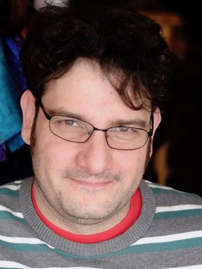
Senior project scientist
Dr. Cartus is a geographer whose research interests focus on the use of remote sensing for the mapping of the Earth's land cover. He is particularly interested in the application of radar and interferometric radar for large-scale mapping and monitoring of forest biophysical parameters such as growing stock volume or aboveground biomass. He also has experience in using airborne and spaceborne Lidar for forest mapping applications. Dr. Cartus holds a degree in geography and a doctorate in natural science from the Friedrich-Schiller-University in Jena, Germany. From 2010 to 2015 he worked at the Woods Hole Research Center, Massachusetts, before he joined GAMMA Remote Sensing in Switzerland in 2015 where his focus is on development of retrieval algorithms using multi-sensor data.