
Watch our presentations at conferences and workshops - and meet us in person at the next conference.
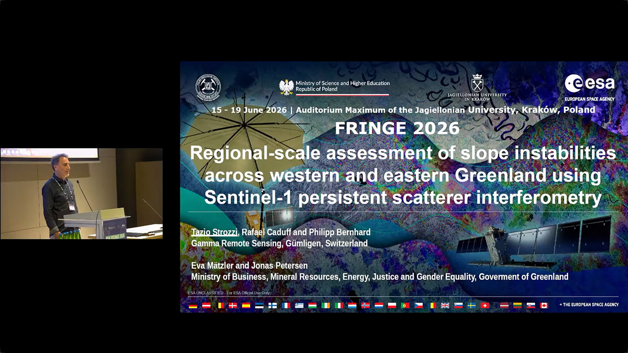
Regional-scale assessment of slope instabilities accross western and eastern Greenland using Sentinel-1 persistent scatterer interferometry
Tazio Strozzi at the European Space Agency's FRINGE conference on 15-19th June 2026.
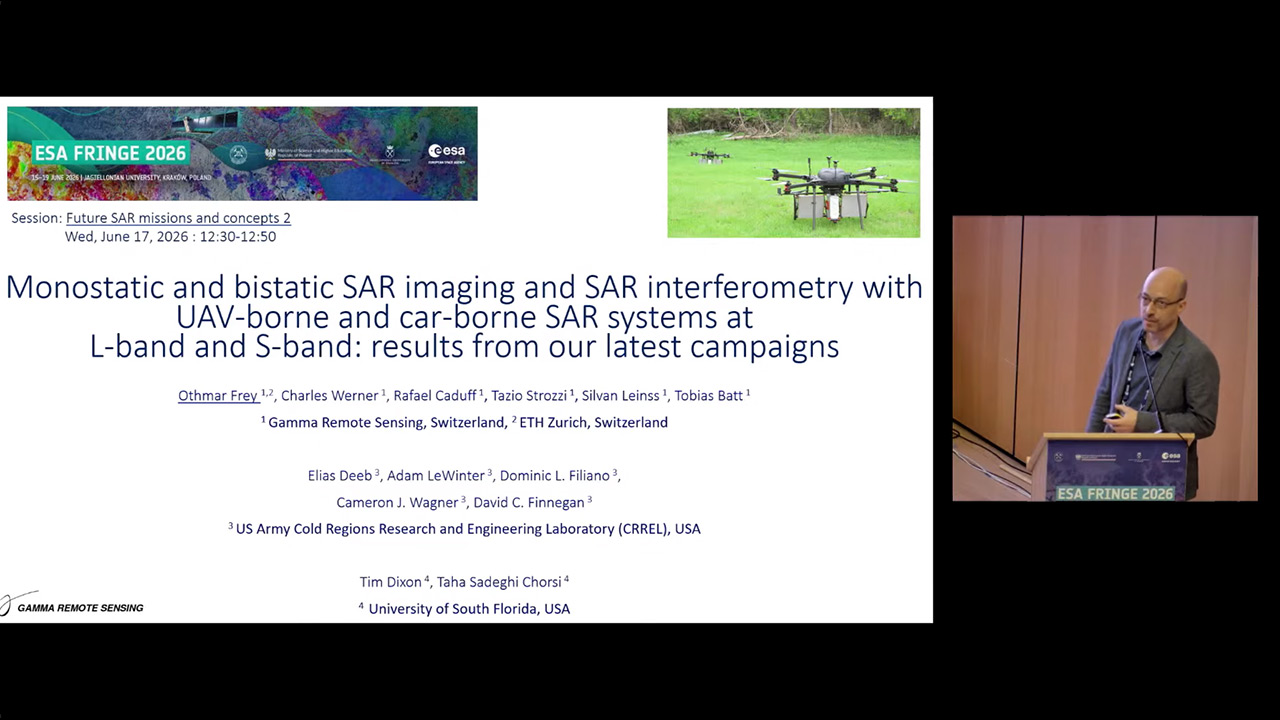
Monostatic and bistatic SAR imaging and SAR interferometry with compact UAV-borne and car-borne SAR systems at L-band and S-band: results from our latest campaigns
Othmar Frey at the European Space Agency's FRINGE conference on 15-19th June 2026.
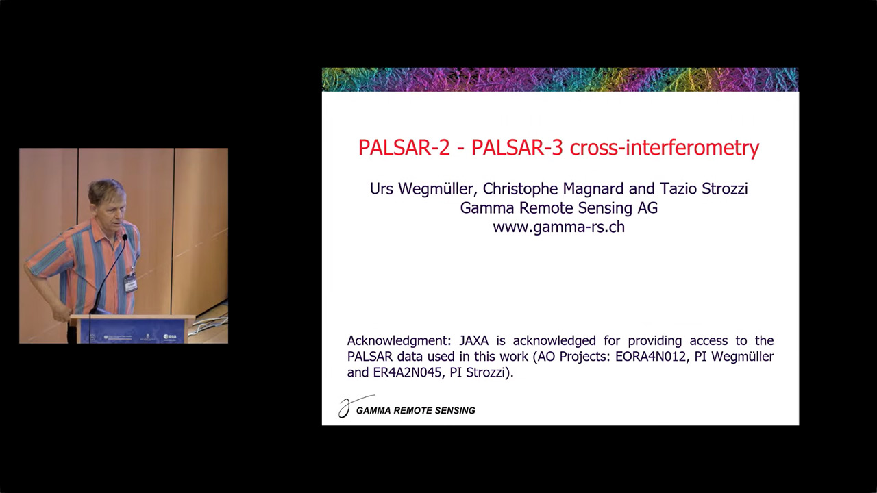
PALSAR-2/3 Cross-Sensor Interferometry
Urs Wegmüller at the European Space Agency's FRINGE conference on 15-19th June 2026.
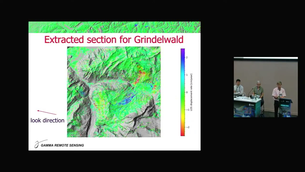
Ground displacement mapping with L-band persistent scatterer interferometry
Urs Wegmüller at the European Space Agency's FRINGE conference on 11-15th September 2023.
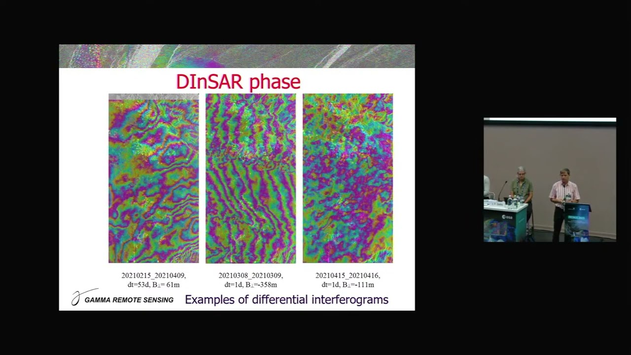
ICEYE DInSAR and InSAR time series for ground displacement mapping
Urs Wegmüller at the European Space Agency's FRINGE conference on 11-15th September 2023.
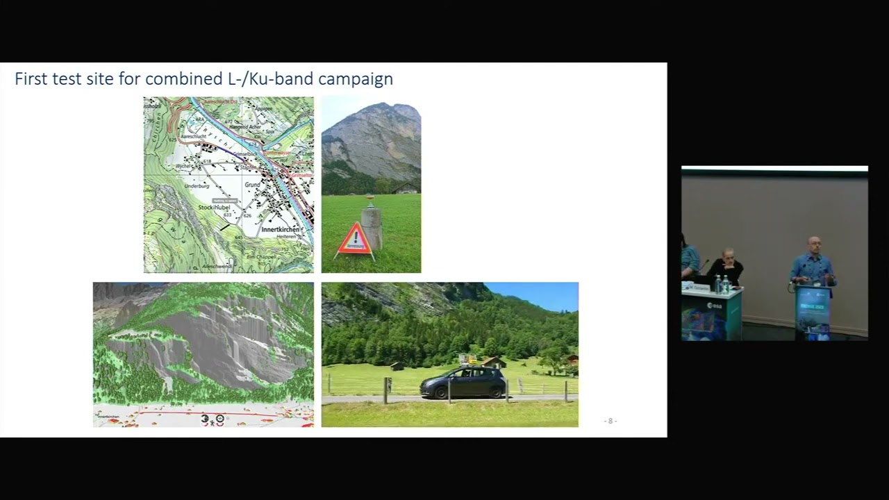
Concurrent car-borne repeat-pass SAR interferometry at L- and Ku-band for mobile mapping of ground motion on Alpine valley slopes
Othmar Frey at the European Space Agency's FRINGE conference on 11-15th September 2023.
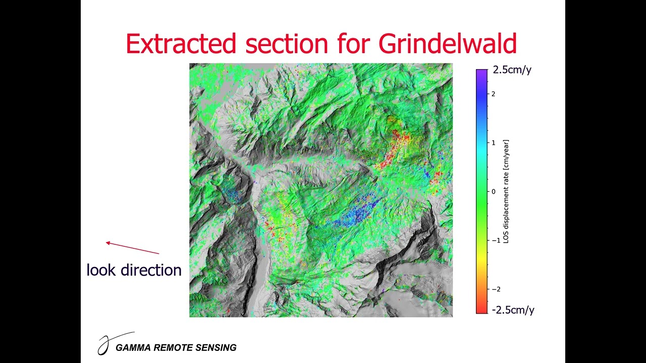
Ground displacement mapping with PALSAR-2 ScanSAR data
Urs Wegmüller at the ALOS Joint Workshop on 8th November 2022.
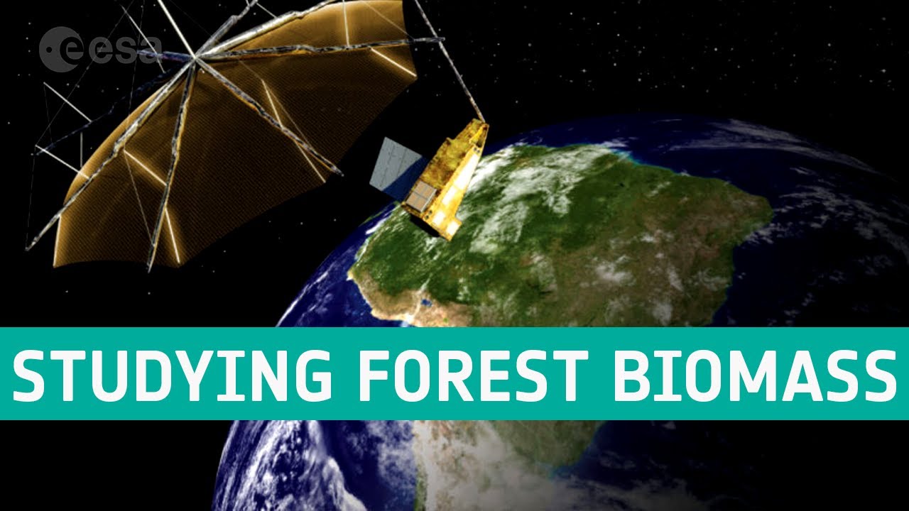
Maurizio Santoro explains how the use of various data, whether in synergy or in comparison, can bring a great contribution/benefit to the field of mapping biomass and measuring this Essential Climate Variable.
Interview with European Space Agency (ESA)
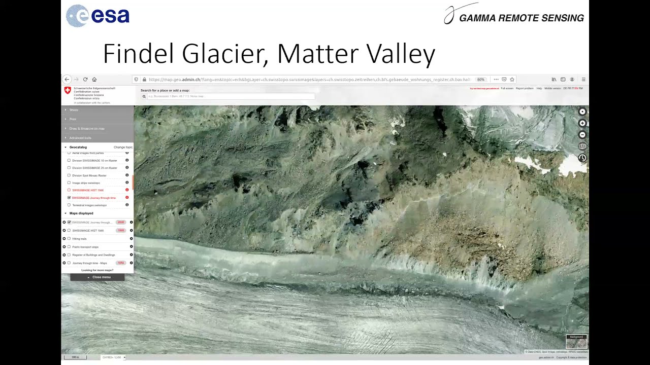
Slope instability mapping in glacier fore-field environments of the High Valais Alps using advanced DInSAR techniques
Nina Jones at the Swiss Geoscience Meeting on 20 November 2021
Bewegungsdetektion und -quantifizierung mittels InSAR (Satelliten-, UAV- und bodengestützt): Stand der Entwicklung und Einsatzmöglichkeiten.
Rafael Caduff at the "GeoVision" presentation series on 22 June 2021, organised by the "Schweizerische Gesellschaft für Photogrammetrie und Fernerkundung (SGPF)"
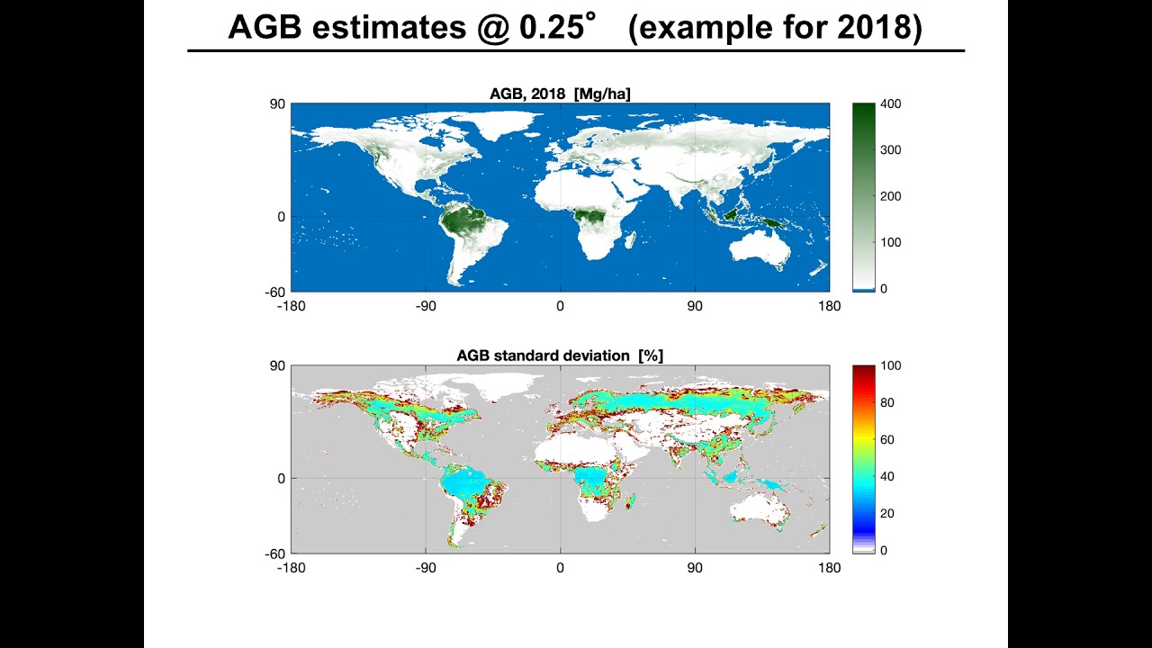
IGARSS 2020: Estimation of Forest Above-Ground Biomass with C-Band scatterometer backscatter observations
Maurizio Santoro at the IGARSS 2020 conference
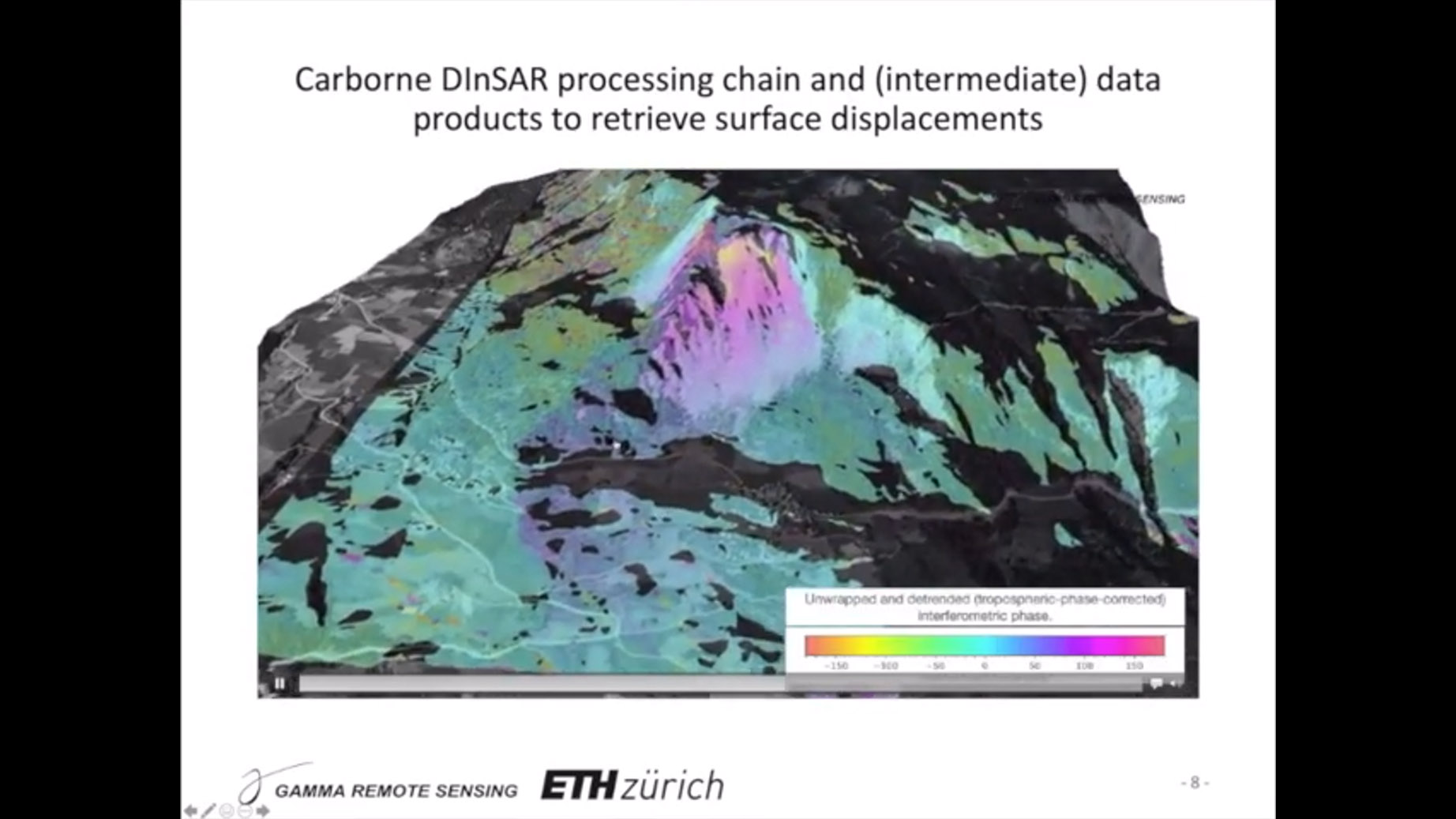
Measuring surface displacements with a novel UAV/Car-borne based radar interferometer
Othmar Frey at the Swiss Geoscience Meeting in 2020
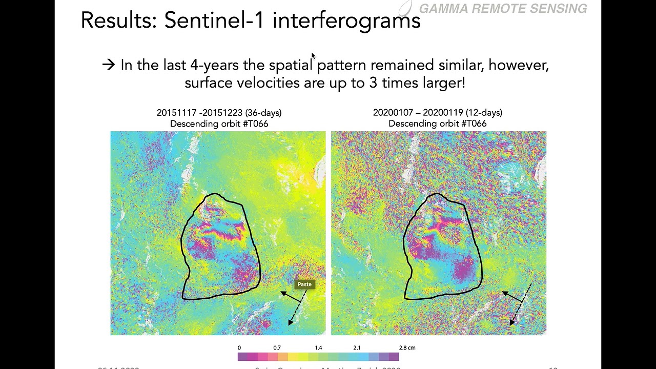
Monitoring displacements of complex landslides with broadband multiplatform radar techniques
Andrea Manconi at the Swiss Geoscience Meeting in 2020
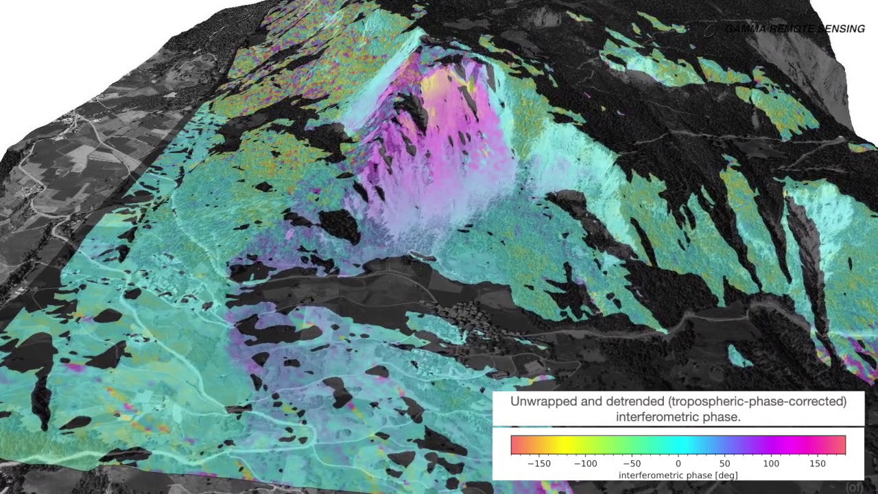
Brienz/Brinzauls (GR, Switzerland): Repeat pass interferometry with the car-borne GAMMA L-Band SAR.
Animation by Othmar Frey