This instrument is not available anymore and has been replaced by the GLSAR instrument.
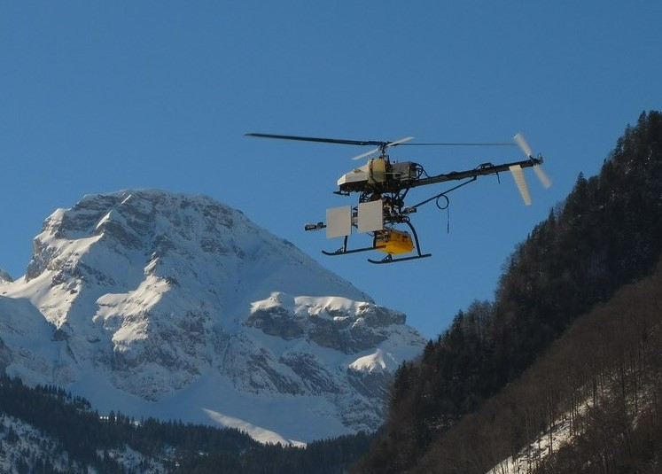
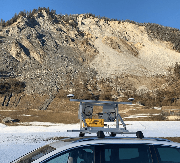
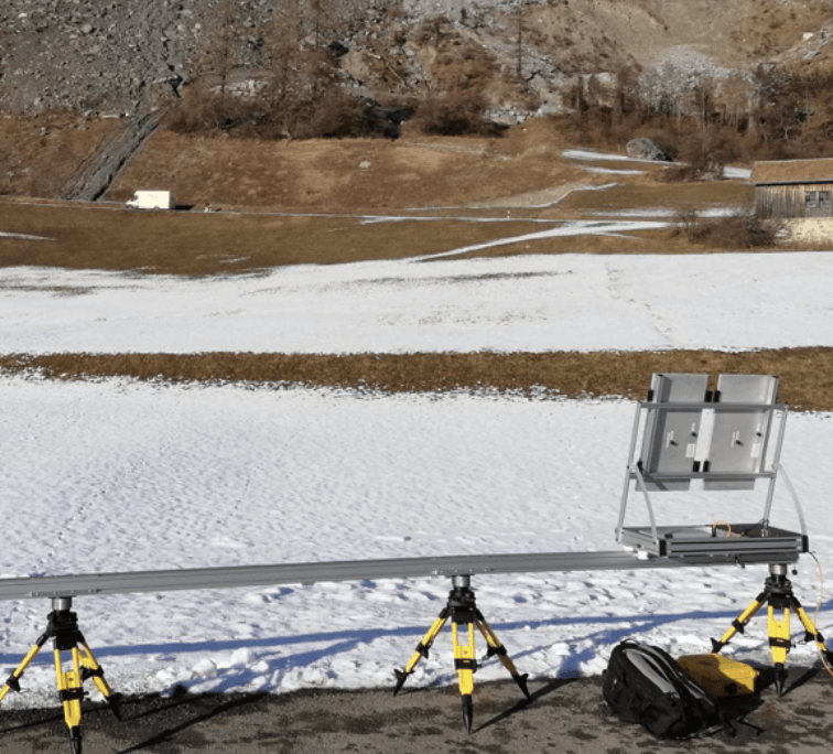
The GAMMA L-band SAR is a small, lightweight, versatile multi-channel SAR system that can be mounted on various agile sensor platforms (UAVs, automobiles) or on a rail. The GAMMA L-band SAR system supports interferometric, polarimetric, and polarimetric-interferometric SAR data acquisitions with up to four receive channels, simultaneously.
Using two repeat-pass SAR images – or a longer time series of repeat-pass measurements – surface displacements in the line-of-sight (LOS) direction of the radar can be derived. Compared to the Ku-band GPRI, the GAMMA L-band SAR system has complementary properties in terms of temporal decorrelation and sensitivity to the LOS surface displacements. By operating the GAMMA L-band SAR system on mobile platforms, synthetic aperture lengths of 100-200 m and more can be obtained, which leads to high-resolution SAR imagery and interferometric products also at L-band.
SAR imaging and interferometric processing of the GAMMA L-band SAR data is supported by the Time Domain Back Projection (TDBP) processor (parallelized CUDA/GPU implementation) and the InSAR processing modules ISP/DIFF&GEO of the GAMMA Software. The TDBP processor supports SAR imaging along curved sensor trajectories as they occur when driving along a road, for instance.
SAR processing of Gamma L-Band SAR data acquired from mobile platforms requires centimeter-level relative positioning information of the sensor trajectory. A combined Inertial Navigation System (INS) and Global Navigation Satellite System (GNSS) navigation system, such as e.g. the Honeywell HGuide n580, is required to obtain positioning information at this level of precision.
We have successfully demonstrated mobile mapping of surface displacements using the GAMMA L-band SAR system in repeat-pass interferometric mode using the following airborne and terrestrial platforms:
Example applications include mapping of glacier surface flow velocity and mapping of slope stability / surface displacements of a landslide. Further applications and measurement modes that the system can support include polarimetric and polarimetric-interferometric techniques as well as repeat-pass SAR tomography.
Frequency: 1.2 - 1.4 GHz (wavelength: 0.226 m)
Chirp bandwidth: 50-200 MHz
Range resolution: 1.5 m @ 100 MHz
Azimuth resolution: <0.5 m @ full SA < 0.5 m; ~2.3 m @ SA = 250m & Range = 5 km
Transmit power: max 10 W (used 5 W)
Dimensions: L= 406 mm, W= 330 mm, H = 174 mm
Weight: 7.65 kg


For more technical details see also:
To get a quote, please This email address is being protected from spambots. You need JavaScript enabled to view it.